
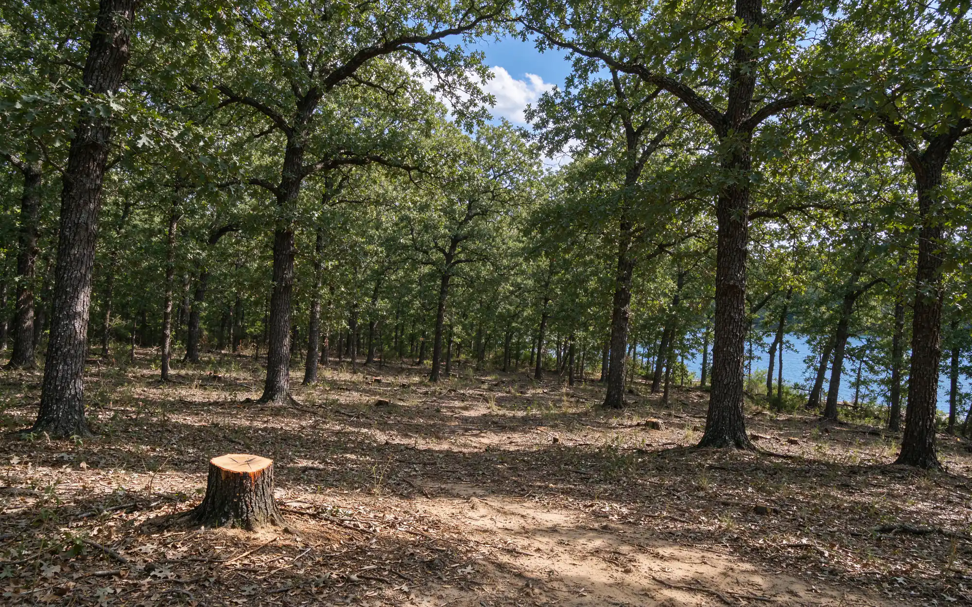
Oak Point names what it is protecting. Its tree preservation rules tie incentives to keeping “remnants of the Cross Timbers Forest,” prohibit clear-cutting and require wooded stands of five acres or more that are kept to go into a conservation easement. Land clearing in Oak Point, TX is therefore planned around which trees stay, and Homestead Land Clearing treats that as the starting point of every Oak Point scope.
Oak Point’s preservation code in plain terms
Who needs a permit. A tree removal permit is required for all non-single-family lots and developments; existing single-family and two-family lots are exempt. Protected trees are listed species from 6 inches in diameter at breast height, and understory trees from 2 inches measured at 18 inches above ground. That low understory threshold matters on Cross Timbers ground, where much of the woody growth is small.
What it costs to lose trees. Mitigation runs 1:1 by caliper inch. Where trees are not replanted, the code’s payment schedule is not less than $250 per caliper inch. Actively farmed property may remove up to seven protected trees a year, but only with a permit after an inspection.
Burning is simpler than the tree side. Under Oak Point’s outdoor burning section, brush from clearing land may be burned on its property of origin without a city permit; imported brush may not. The fire department must be notified, or the notice submitted on the city website, and burning happens only on days the county fire marshal’s office approves. Piles of 3 feet across and 2 feet high or larger need prior written fire department approval after a property inspection, which covers most clearing piles. The burn sits 50 feet from adjoining property lines, 25 feet from on-site structures and 300 feet from neighboring sensitive-receptor structures unless the owner gives written approval, with 20 feet cleared around it, canopy included, from one hour after sunrise to one hour before sunset. Denton County sits in the Dallas-Fort Worth ozone nonattainment area, where TCEQ allows land clearing burns only when no practical alternative exists, and any county or mayoral burn ban puts burning on hold. The Collin and Denton burning guide explains how bans work.
Planning a wooded tract around a conservation easement
The five-acre easement rule changes the order of operations on large wooded land. Before any clearing line is drawn, the stands that will be preserved are located, because a stand of five acres or more ends up in a conservation easement, a recorded restriction that keeps it as woodland. Clearing then happens around those stands, not through them. The edges matter most: a mulcher working the cleared side stays out of the kept trees’ root zones, and the boundary is flagged on the ground so the line on the plan and the line in the woods match.
Smaller tracts face the same logic at a smaller scale. A home site carved from oak woodland is usually a matter of clearing the footprint, driveway and a working margin, then thinning cedar from the rest. Open ground and old fields can take pasture clearing with far fewer trees in play.
How an Oak Point job usually runs
- Walk the property: boundaries, trees and stands to keep, slopes, wet spots, fences, the lake line, and what is buried or overhead.
- Check the rules for that address: tree permit and easement questions, burn notice, Corps boundary, floodplain limits and Texas811.
- Write the scope before a price: method, finish level, stumps, debris plan and erosion control.
- Clear and hand off at the agreed finish.
Reading Oak Point land
Texas Parks and Wildlife describes the East Cross Timbers in Denton County as post oak and blackjack oak woodland with cedar elm and hickory, and eastern red cedar, mesquite and greenbriar common in the understory. On Oak Point acreage, that combination points to selective clearing: cedar, greenbriar and dead wood come out, the oaks that make up a preserved stand stay. Forestry mulching suits that work because it grinds understory in place without a dozer scraping the root zone of the trees being kept.
USDA NRCS soil data around Oak Point shows Navo and Wilson clay loams alongside Birome and Callisburg fine sandy loams, with the Birome-Rayex-Aubrey complex on 2 to 15 percent slopes and Konsil soils on 3 to 8 percent. Sandy loam on a slope erodes quickly once cleared, especially where it drains toward the lake, so silt fence and seeding are scoped early; the erosion control guide covers the options.
Lewisville Lake sets a hard edge. The U.S. Army Corps of Engineers says land at or below elevation 535 feet around the lake is generally owned by the federal government, and on public land it prohibits destroying, altering or removing vegetation. The flowage easement reaches the 537-foot contour, and work there needs written Corps permission. A lakeside clearing job stops at the government boundary markers; the creek and floodplain guide covers related limits.
Growth is picking up: Census estimates put Oak Point at 4,351 residents in 2020 and 6,909 by mid-2025, and single-family permits rose from 51 in 2024 to 152 the following year. Development tracts that disturb an acre or more fall under TCEQ’s construction stormwater permit, explained in the stormwater permit guide.
Services for Oak Point properties
- Lot clearing on a single home site, with the trees to keep marked first.
- Brush clearing of cedar and greenbriar under oak canopy.
- Commercial land clearing for development tracts working through the tree permit.
- Debris removal where burning is not practical or not wanted.
On Oak Point land, the mulching versus clearing guide is a good first read. Then get in touch with the address.